Crabtree Creek

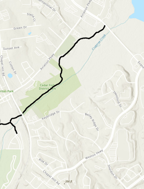
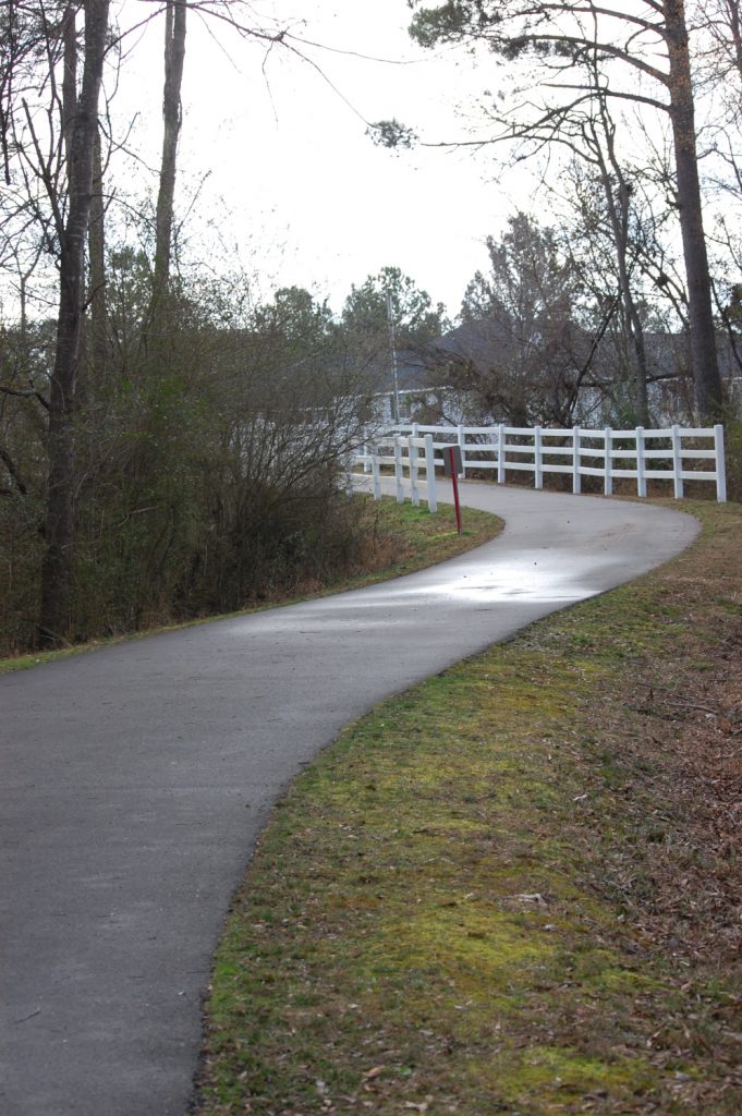
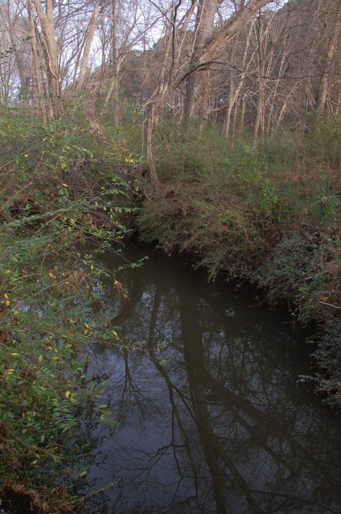
The Crabtree Creek Greenway runs along Crabtree Creek, starting at Crabtree Crossing Parkway, under the railroad tracks and Chapel Hill Road, through Cedar Fork District Park, and out to Evans Road. The trail extends across Evans Road to the Black Creek Greenway, Lake Crabtree and Umstead Park.

Length: 1.4 miles (from Crabtree Crossing Parkway to Evans Road)
End Points: Hatcher Creek Greenway, Crabtree Crossing Parkway, Evans Road just south of Aviation Parkway. *This greenway continues as you cross Evans Road to the east and will take you to Lake Crabtree, Black Creek Greenway, and Umstead Park.
Park Connections: Cedar Fork District Park, Crabtree Creek Nature Park (Lake Crabtree and Umstead Park after crossing Evans Road)
Flowers: Explore the flowers found on this trail here.
Neighborhoods: Crabtree Crossing Apartments and Townhomes, Weston Estates, Pointe at Lake Crabtree Apartments

Entrance Points: Hatcher Creek Greenway, Crabtree Crossing Parkway at Wolfsnare Lane, Crabtree Creek Nature Park, Cedar Fork District Park, Evans Road south of Pointe at Lake Crabtree Apartments.
Where to Park: Cedar Fork District Park, Crabtree Creek Nature Park
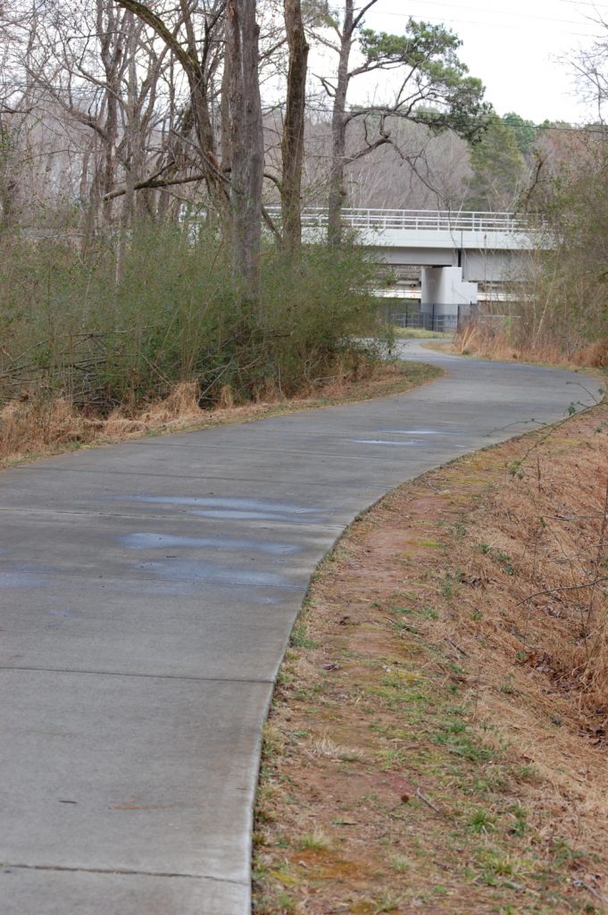
Connection to Other Trails: Crabtree Creek Greenway seemlessly connects to Hatcher Creek Greenway just north of Crabtree Crossing Parkway. The trail crosses under the railroad tracks and Chapel Hill Road, there is no street access here. The greenway crosses Evans Road with a signaled crosswalk and continues to Black Creek Greenway.

Bicycle Friendly? Yes
Stroller Friendly? Yes
Wheelchair Friendly? Yes
Bathroom Location: Cedar Fork District Park entrance
Water Fountains: Cedar Fork District Park entrance
Benches for Resting: There are benches on each section of the trail.
Shady Areas: The greenway is lined with trees giving lots of shade, especially in the afternoon. The area through Cedar Fork District Park has more sun.